
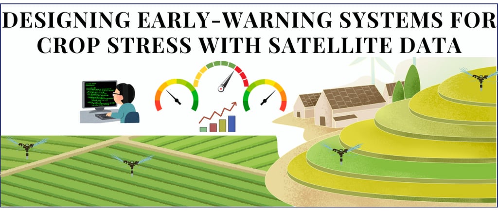
Designing Early-Warning Systems for Crop Stress Monitoring with Satellite Data
Learn how to design an early warning system for crop stress using satellite time series data and threshold based indicators for timely detection.
CLIMATE TECH AI
2/4/20263 min read
Farmers do not need black box AI to get timely alerts when their crops are under stress A well designed and threshold based system using satellite time series can already deliver actionable early warnings.
What “early‑warning” really means ?
An early‑warning system for crop stress aims to flag abnormal conditions before they show up as visible damage or yield loss. It monitors vegetation, water, and temperature signals over time and raises alerts when they deviate from what is “normal” for that place and season.
In practice, “early” usually means 1 to 4 weeks of lead time for issues like drought, heat stress, or prolonged waterlogging. The goal is not perfect prediction, but giving farmers and advisors enough time to adjust irrigation, fertilizer, or other management decisions.
Define the users and their requirements
Before choosing data or algorithms, clarify three things:
Who will use the alerts? (Smallholders, large‑scale farmers, cooperatives, insurers, governments.)
What decisions should alerts trigger? (Irrigate sooner, reduce nitrogen, scout for pests, trigger insurance processes, target government support.)
What spatial and temporal scales matter? (Field‑level vs. district‑level, daily vs. weekly vs. 10‑day updates.)
This step decides the solution design. A district‑level drought monitor for a government looks very different from per‑field alerts for an agritech startup.
The core idea
Most farms still discover crop stress when it’s already visible: yellowing leaves, bare patches, disappointing yields at harvest. By then, the damage is largely done.
Yet we already have the data to see stress building up weeks earlier. Satellite time series quietly track how “healthy” crops look over time. If we use them well, they can tell us when a field starts drifting away from its normal trajectory long before the problem shows up on the ground.
The shift is simple but powerful. Instead of looking at individual images, we look at the curve of vegetation health through the season.
Every field has a typical growth pattern e.g. greenness rises, plateaus, then falls as the crop matures.
From a few years of satellite data, we can learn what “normal” looks like week by week for that crop and region.
An early warning system constantly compares today’s signal to that expected curve.
When the current season’s curve suddenly dips 10–20% below its usual path, and stays there, that’s a red flag. AI is not needed to see this, just good baselines and clear thresholds will do the job.
A simple, explainable engine behind the scenes
Here’s what such a system actually does, in plain terms:
Tracks a handful of indicators over time:
Vegetation indices for crop vigor.
Optional rainfall, temperature, or soil‑moisture to understand the “why.”
Builds a baseline:
For each field or zone, it learns the typical value for each week of the season.
Applies thresholds and rules:
“Normal” vs. “Watch” vs. “Warning” based on how far and how long the signal deviates from normal.
Filters out noise by requiring persistence (more than one time step) and coherent patches, not just isolated pixels.
The result isn’t a mysterious “AI score.” It’s an interpretable signal you can explain to an agronomist or a risk manager in one slide.
What users actually get
For farmers, advisors, and agri businesses, the value is in how the signal shows up in their workflow:
Weekly maps highlighting fields moving from Normal to Watch or Warning.
Field‑level time series that clearly show, “This season is diverging from the usual pattern around flowering.”
Alerts that say where, since when, and how severe the stress is, instead of a vague “risk is high” label.
This is what unlocks practical actions such as adjusting irrigation, changing scouting priorities, reconsidering input plans, or trigger ing internal risk protocols.
Start with analytics, then decide if AI is needed
There’s a lot of noise around “AI for agriculture,” but most early‑warning value comes from:
Good data engineering and baselines.
Smart, crop‑aware threshold design.
Clear delivery of insights to the right people.
Once that foundation exists, more advanced ML and GeoAI become optional upgrades, not prerequisites. They can help fine tune thresholds by crop, predict stress a few steps ahead, or integrate additional signals, but they don’t replace the need for a transparent early‑warning logic.
If you’re building tools for farmers, insurers, or ag‑supply chains, an analytics‑first crop‑stress early‑warning system is often the fastest, most defensible way to add real value.
You don’t need to start with a complex AI model. You can start with:
A clear definition of “normal” for your crops and regions.
Simple thresholds that map deviations into risk levels.
A basic map and alert experience that your users can understand immediately.
From there, you can iterate into more sophisticated GeoAI only where it clearly improves decisions.
If this is something you’d like to explore, whether as a pilot for a specific region or as a feature inside an existing product connect with us at info@dimensionalanalytics.com.