
Using Satellite Imagery and AI to Track Deforestation in Real-Time
Track deforestation in real time using satellite imagery and AI. Learn how data-driven insights help monitor forest loss and protect ecosystems.
CLIMATE TECH AI
1/26/20262 min read
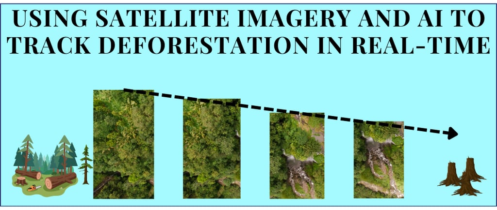
Forests are the lungs of our planet, absorbing carbon dioxide, regulating climate, and supporting millions of species. Monitoring forest health across vast and remote areas has always been a challenge. Thanks to satellite imagery and AI, this is changing. Modern satellites capture high-resolution images of forests around the globe multiple times per week, enabling near real-time tracking of forest cover and canopy changes.
Why Real-Time Deforestation Monitoring Matters
Deforestation affects biodiversity, local climate, and water cycles, yet much of it has traditionally gone unnoticed for months or years. Real-time monitoring allows authorities, conservation organizations, and communities to observe changes as they happen, respond quickly to emerging threats, and make informed decisions about forest management. Timely data also supports conservation planning and resource allocation, ensuring interventions are as effective as possible.
Contact us to leverage our expertise in transforming satellite imagery into accurate, real-time deforestation monitoring.
The Satellite Data Behind Real-Time Forest Watch
Deforestation monitoring relies on a variety of satellite systems:
Optical satellites like Sentinel‑2 and Landsat capture multispectral imagery every few days, highlighting changes in canopy cover, burn scars, and land use.
Radar (SAR) sensors can see through clouds and smoke, making them ideal for humid or tropical regions where optical imagery may be obscured.
High-resolution commercial satellites and drones provide detailed views that help confirm detected changes and improve accuracy.
Cloud-based platforms and GIS tools make it possible to process these data streams automatically and generate alerts on a global scale.
How AI Detects Forest Changes
AI turns satellite images into actionable insights by learning to distinguish forests, cleared land, and regrowth over time.
Classification models such as Random Forests, SVMs, and convolutional neural networks identify forested areas and detect changes.
Time-series and change-detection models flag new clearings, degradation, or regrowth.
Object- and anomaly-detection models highlight unusual patterns, helping prioritize areas for further investigation.
These approaches allow continuous monitoring rather than relying on periodic snapshots, bringing us closer to near real-time forest observation.
Listening Forests: Acoustic Sensors in Action
Some initiatives complement satellites with acoustic sensors that capture forest soundscapes. Devices like Rainforest Connection’s “Guardian” system detect sounds such as chainsaws or trucks and generate alerts, enabling rapid, localized responses.
From Alerts to Action on the Ground
Real-time analytics are most valuable when integrated into user-friendly dashboards and platforms. Tools like Global Forest Watch provide near real-time alerts that can guide conservation efforts and inform decision-making. Predictive models can also highlight areas at higher risk of forest changes, helping prioritize monitoring and protection efforts.
Building a Responsible, Inclusive GeoAI Future
Deploying AI for forest monitoring responsibly is key. Transparency about methods, data limitations, and uncertainty builds trust with local communities, governments, and organizations. Combining satellite data, acoustic sensors, drones, and field observations creates multi-layered monitoring networks that are resilient across diverse environments.
By turning forests into continuously observed ecosystems, satellites and AI are enabling proactive, data-driven conservation, helping ensure these critical landscapes remain healthy and productive for generations to come.
Contact us to leverage our expertise in transforming satellite imagery into accurate, real-time deforestation monitoring.