
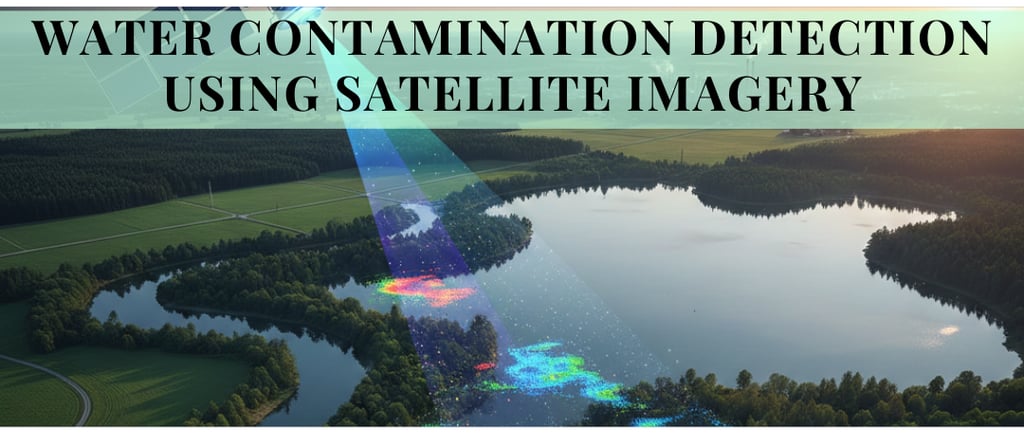
Water Contamination Detection Using Satellite Imagery Data
Discover how satellite imagery and remote sensing technologies detect water contamination, algal blooms, oil spills, and turbidity in real time for effective water quality monitoring.
CLIMATE TECH AI
2/23/20262 min read
Water is one of our most critical natural resources, yet it is increasingly endangered by pollution from industrial discharge, agricultural runoff, oil spills, and urban waste. Traditional water quality monitoring relies on field sampling and laboratory analysis, which are accurate but expensive, time-consuming, and geographically limited. Today, satellite imagery is transforming how we detect, monitor, and respond to water contamination at scale and in near real time. Most of the satellite data is available for users to analyze and act as needed.
Why Use Satellites for Water Monitoring?
Satellite remote sensing offers several advantages, such as:
Wide coverage – Can provide the data related to larger areas to Monitor lakes, rivers, reservoirs, and coastal zones across entire countries.
Frequent updates – Some satellites revisit the same location daily at various frequencies.
Cost effective scaling – No need for physical presence at every monitoring point.
Historical data access – Analyze contamination trends over years.
Programs from agencies such as NASA and European Space Agency (ESA) provide open-access satellite imagery that researchers, governments, and environmental agencies can use for water quality analysis.
If this is something you’d like to explore, whether as a pilot for a specific region or as a feature inside an existing product connect with us at info@dimensionalanalytics.com.
Key Satellite Missions Used in Water Quality Monitoring
1. Landsat 8
Part of the long running Landsat program, Landsat 8 provides multispectral imagery suitable for detecting:
Turbidity
Sediment plumes
Algal blooms
Surface temperature anomalies
With a 16-day revisit cycle and 30-meter resolution, it is widely used for freshwater monitoring.
2. Sentinel-2
Operated under the Copernicus Programme, Sentinel-2 offers:
10-meter spatial resolution
5-day revisit frequency
Spectral bands optimized for vegetation and water analysis
Its higher resolution makes it excellent for smaller lakes and coastal pollution tracking.
3. MODIS (Moderate Resolution Imaging Spectroradiometer)
Mounted on the Terra and Aqua satellites, MODIS provides daily global coverage. Though lower in resolution, it is useful for:
Monitoring large-scale algal blooms
Tracking sediment transport
Measuring ocean color changes
How Satellite Imagery Detects Water Contamination
Satellite sensors measure reflected light across multiple wavelengths (spectral bands). Different pollutants and water conditions alter how light is absorbed and reflected.
1. Detecting Algal Blooms
Harmful algal blooms (HABs) increase chlorophyll concentration, changing water color. Specific spectral indices such as:
NDWI (Normalized Difference Water Index)
NDCI (Normalized Difference Chlorophyll Index)
help detect elevated chlorophyll levels from space.
2. Measuring Turbidity and Sediment
Suspended particles increase reflectance in red and near-infrared bands. Algorithms estimate:
Total Suspended Solids (TSS)
Water clarity
River discharge impact zones
3. Identifying Oil Spills
Oil spills commonly caused due to accidental or deliberate release of liquid petroleum and hydrocarbons into the oceans cause significant and long lasting damage to to the marine ecosystem, ocean health and wildlife. Many satellite programs are effective in oil spill detection especially in vast and inaccessible ocean areas. Oil films modify surface reflectance and dampen capillary waves. Synthetic Aperture Radar (SAR), used in missions like Sentinel-1, can detect oil spills even at night or through cloud cover.
4. Monitoring Thermal Pollution
Identifying unnatural, rapid, or sustained increases in water temperature caused by the discharge of heated water from power plants and industrial processes, such as steel, paper, or chemical manufacturing is important to mitigate the effects of large scale industrialization of water bodies. Industries are required to self monitor and report the compliance to regulations in this regard. This is where thermal sensors become effective in detecting the abnormal temperature increases from industrial discharge or power plants, signaling potential ecological stress. Satellite (such as Landsat) and aerial/drone sensors detect surface thermal radiation, allowing for large-scale monitoring of heat plumes from a distance.
If this is something you’d like to explore, whether as a pilot for a specific region or as a feature inside an existing product connect with us at info@dimensionalanalytics.com.
Note: Image was created with Gemini.